“Gökyüzüne atılan ilk adımınız”

Uçuş eğitim cihazları ve elektronik sistemler alanında uzmanlaşmış havacılık teknolojileri firması.

Aerial Photography

Capture breathtaking aerial images with sharp detail

Aerial Videography

Produce smooth, cinematic drone footage with precision

Live Mapping

Generate accurate, real-time aerial maps for any project

Hakkımızda

Havacılık teknolojilerinde ileri mühendislik, yerli üretim gücü ve sürdürülebilir inovasyon anlayışıyla yola çıktık.

Step Havacılık, 2024 yılında ana çalışma alanı uçuş eğitim cihazları olmak üzere havacılık ve elektronik sistemler üzerine kurulmuş bir firmadır.

Step Havacılık; simülatör sistemleri, uçuş eğitimi teknolojileri ve aviyonik alt sistemler alanında faaliyet gösteren bir teknoloji şirketidir. Kurulduğumuz günden bu yana, savunma ve havacılık sektörlerinin ihtiyaçlarına özel, yüksek hassasiyetli ve kullanıcı odaklı çözümler geliştirmekteyiz.

Samsun’da yer alan merkezimizde yürüttüğümüz çalışmalarla; eğitim, test ve görev amaçlı simülatör sistemleri başta olmak üzere dijital kokpit sistemlerinden uçuş kontrol bileşenlerine kadar geniş bir ürün yelpazesi sunuyoruz.

Her biri alanında uzman mühendislerden oluşan dinamik ekibimiz, ulusal ve uluslararası standartlara uygun projeler geliştirerek, sektördeki rekabet gücünü artıran çözümler üretmektedir.

Step Havacılık olarak vizyonumuz; Türk mühendisliğinin gücünü global havacılık arenasında temsil eden öncü bir teknoloji markası olmaktır.

Years Experience
0 +

We’ve successfully completed over 500 aerial projects, delivering exceptional results

Flight Hours
0 K+

With over 3,000 hours of aerial footage, we bring a wealth of experience to every project

Client Satisfaction
0 %

Our clients trust us with their projects, boasting a 98% satisfaction rate globally

Skydrone Projects

Yacht Festival 2024

AERIAL PHOTOGRAPHY - OCTOBER 19, 2024

Stunning aerial shots capturing the grandeur and excitement of luxury yachts in action

Luxury Resort Ad

AERIAL VIDEOGRAPHY - NOVEMBER 21, 2024

Captivating aerial videography showcasing exclusive beachfront and scenic resorts

Agricultural Land Mapping

LIVE MAPPING - DECEMBER 25, 2024

Precision mapping for farm management, crop health monitoring, and yield analysis

Skydrone Shots

Elevate Your Perspective with Our Captivating Aerial Gallery – Stunning Views from Above

Dive into a collection of mesmerizing aerial shots, featuring breathtaking landscapes, dynamic cityscapes, and architectural wonders, all captured with the latest drone technology for stunning clarity and detail

Aerial Shots Captured
0 K+
Hours of Flight Time
0 K+

Why Skydrone

Top Quality

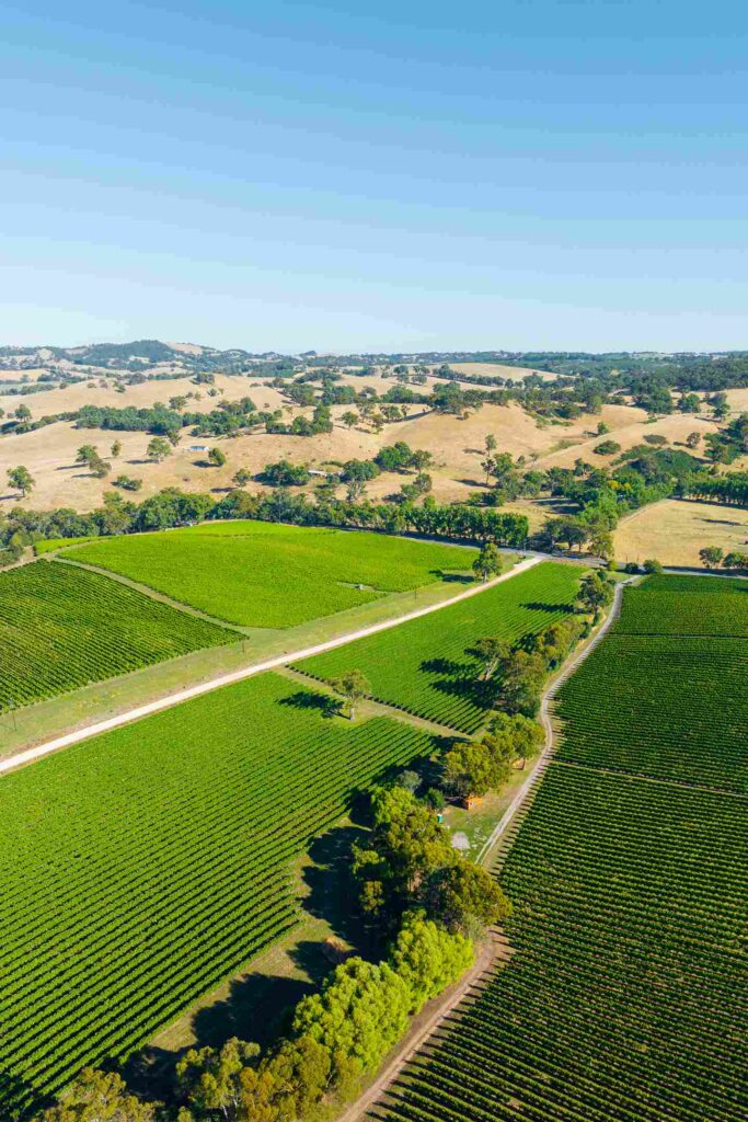
Skydrone delivers unmatched aerial photography and videography with precision and skill

Creative Vision

We turn your ideas into breathtaking aerial shots, offering innovative solutions for all

Professional Service

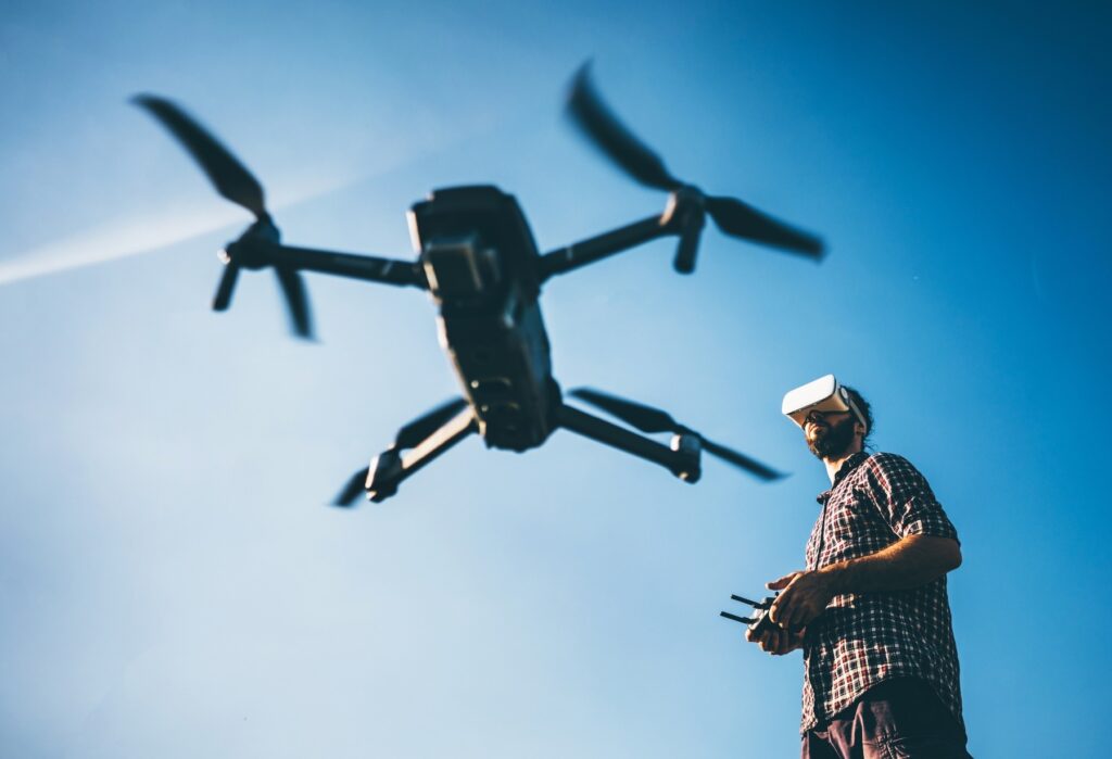
Our team of certified drone pilots ensures safe, reliable, and stunning results for every project

Reliable Technology

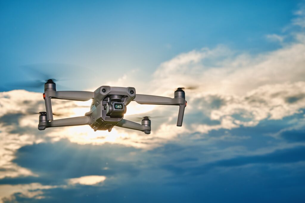
Skydrone uses cutting-edge drones and equipment to provide exceptional and detailed visuals

Skydrone offers top-notch aerial services with cutting-edge technology, skilled pilots, and exceptional customer care for every project

Skydrone Pricing

Aerial Photography

Capture breathtaking aerial shots with high-quality photography

START FROM

$200

/project

Includes:

Aerial Videography

Create cinematic drone videos with high-resolution 4K footage for any use

START FROM

$325

/project

Includes:

Live Mapping

Generate accurate aerial maps and 3D models using drone imaging tools

START FROM

$245

/project

Includes:

Skydrone Pilots

Michael Carter

Lead Drone Pilot

Daniel Foster

Aerial Cinematographer

Ryan Mitchell

Flight Operations Specialist

James Walker

Drone Imaging Expert

Skydrone Booking

Let’s Get Started

Elevate your visuals with professional drone shots—tell us your needs, and we’ll handle the rest